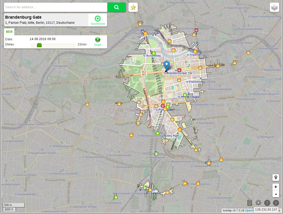
An isochrone map in science and urban planning is a map showing areas related to isochrones between different points. An isochrone is defined as “a line drawn on a map connecting points at which something occurs or arrives at the same time”. Such a map is sometimes termed simply an isochrone. Isochrone maps have been used in city and transportation planning for more than forty years.
Information technology of the 21st century has enabled them to be dynamically generated so that they can be used in websites. This can lead to advantages across several areas (for example house hunters that want to evaluate objects in residential areas).
At DBIS (a department of the Institute of Computer Science at the University of Innsbruck) algorithms that are used for calculating isochrones are developed and improved. Questions regarding isochrones are examined and their results are visualized (e.g. how many people can travel to a given point within a specified time). Furthermore, multimodal approaches are used, so that various travel types, like using a bus, a car or going by foot, are observed.